Now that Category 4 Hurricane Ida has made landfall, rain from the remnants of the tropical depression is expected to cause widespread flooding from Louisiana to New England. The National Weather Service says, heavy rain of 2-4 inches on Wednesday and Thursday will occur in the Northeast states. A flood watch and flashflood warnings have been issued alone the Eastern Seaboard. Local rivers and small streams are already running above normal due to recent hurricane waters and Ida’s new rainfall will increase the risk for drainage flooding and other storm related problems. Here are 3 things ‘You Can Do NOW’ to get ready: 1) Check your flood risk (https://floodfactor.com/), 2) Follow your local weather forecasters flood watch warnings online or on TV, and 3) Remember, water is the most dangerous part of hurricanes (if you have to drive – don’t’ drive through water because you don’t know how deep it is: Don’t Drown – Turn around). Be sure to share my Blog with friends and family so everyone stays safe.
Week #15 Hurricane Season Series: Heavy RAIN – Remnants of Hurricane Ida moving from Louisiana to New England

(617) 454-4438
contact@opheraadavis.com
P.O. Box 65173
Virginia Beach 23467
Virginia Beach 23467
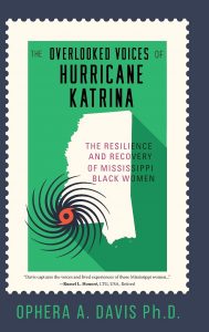
Sign up for my email list to receive news about my upcoming book as well as speaking events.


